Laser scanning
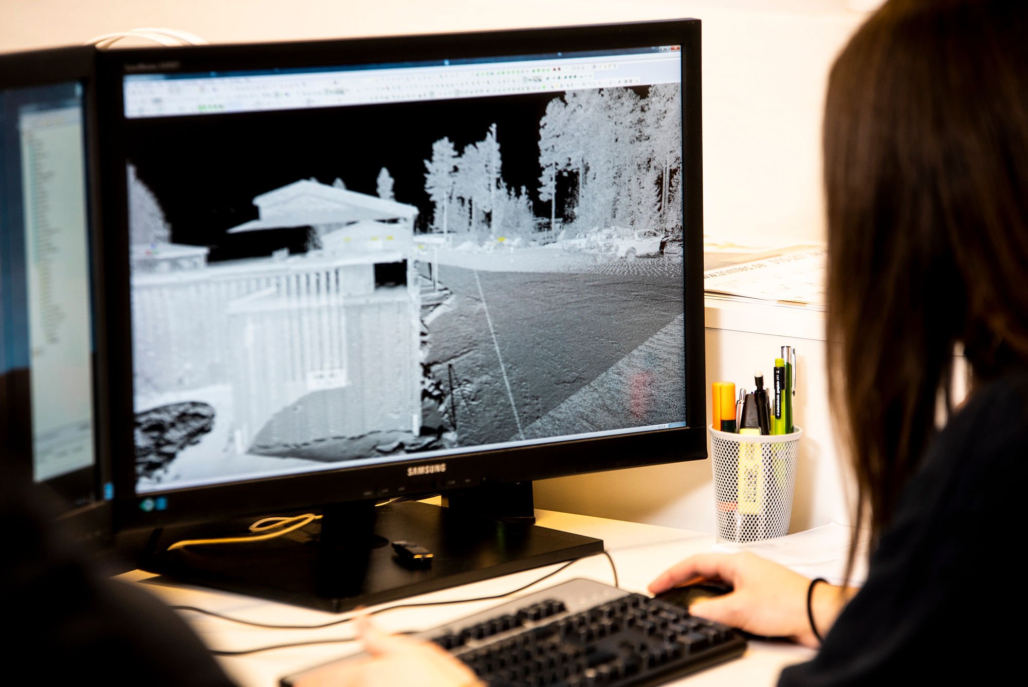
Laser scanning produces an accurate point cloud of a site or area without physically touching or entering it. It is an efficient, highly accurate and also cost-efficient way to produce surveying data on massive construction or planning sites.
Laser scanning gives you very accurate data
The scanner sends up to millions of laser pulses per second. The position of one point is measured in relation to the other points of the point cloud, allowing its accuracy to be determined in millimetres. The point cloud can be located in the local geographic information system or it can be linked to other existing coordinate systems.
Laser scanning allows large amounts of data to be collected quickly. Not all information needs to be put to use immediately; it can be archived and returned to as needed without accessing the site. In addition, target areas (such as roads and railways) do not need to be closed for long periods due to surveying.
The point cloud generated can be treated as a separate product, or it can be embedded in design programs as part of a larger whole.
Photos and laser scanning
With modern laser scanners, photographic information can be combined with the survey data, strengthening the realistic and illustrative nature of the point cloud. This allows using the point cloud as such for a number of purposes requiring visuality.
In addition, a 3D virtual environment can be quickly and easily generated from the point cloud, which allows customers to quickly perform simple surveys.


