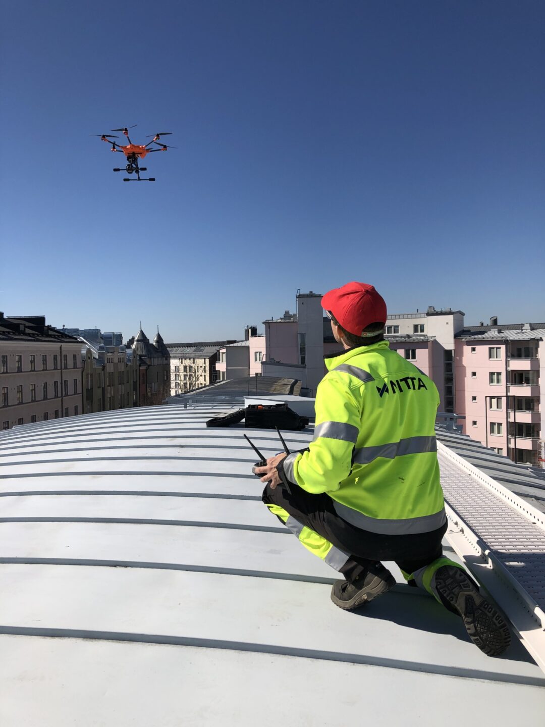
UAS and photogrammetric surveying
UAS (Unmanned Aircraft System) is an unmanned aerial vehicle system that can be used to easily and effortlessly photograph objects from the air. The electric-motor operated automatic unmanned aircraft, i.e. a drone, is nearly silent and a safe method for aerial photography.
Efficient surveying by drone
As the flight altitude is 100-150 meters, the UAS flies in free airspace and operating one does not normally require a separate flight permit.
A typical subject is a 10-300 hectare area of which a scale-precise orthomosaic and a DSM point cloud are generated. The point cloud can be used to form a surface model for design or volume calculation purposes, for example. The accuracy of the UAS method corresponds to the tolerances of conventional aerial photography. The point clouds are attached to the coordinate system using signal points placed inside the flight area.
Property inventory surveying
Unmanned aerial vehicles, or drones, are an effective way to collect surveying data from all kinds of land-based objects, for example rock, soil, peat or recycled material stocks. The data collected by the drone is refined into a surface model, which when compared to a reference surface, can be used to determine the volume of change.
UAS surveying can always be complemented with alternative methods such as laser scanning or conventional spot surveying.


